


There are big changes underway in the world of digital cartography, finds Sam Fortescue. We review the latest digital charts

How digital charts are changing
Gone are the days when the only screen you had on board was something called a ‘plotter’ to display an electronic version of your paper charts.
If you have tried to buy digital charts recently, you will know what a bewildering choice there is.
Of course, the charts you buy and the device on which you display them go hand in hand.
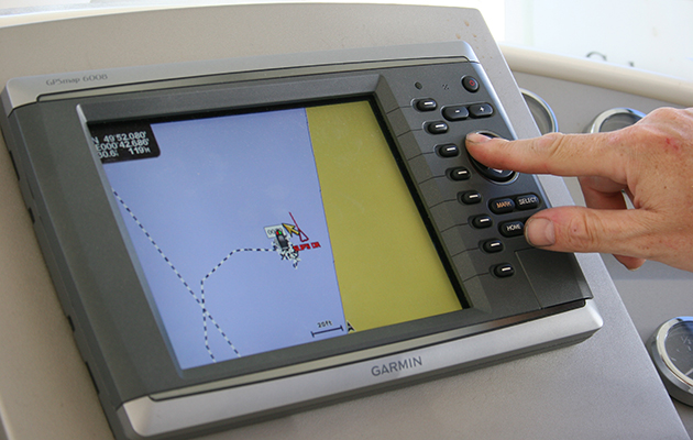
Older or ‘legacy’ equipment may well be confined to a single cartography supplier, and to an old-fashioned format like the old chart cards with which Garmin revolutionised the market in the 1990s.
So, if you’re wondering what charts to go for, it could be a broader question about which multifunction display to upgrade to.

Big changes are underway with 3D depth contours that rival video gaming detail now available with C-Map Reveal
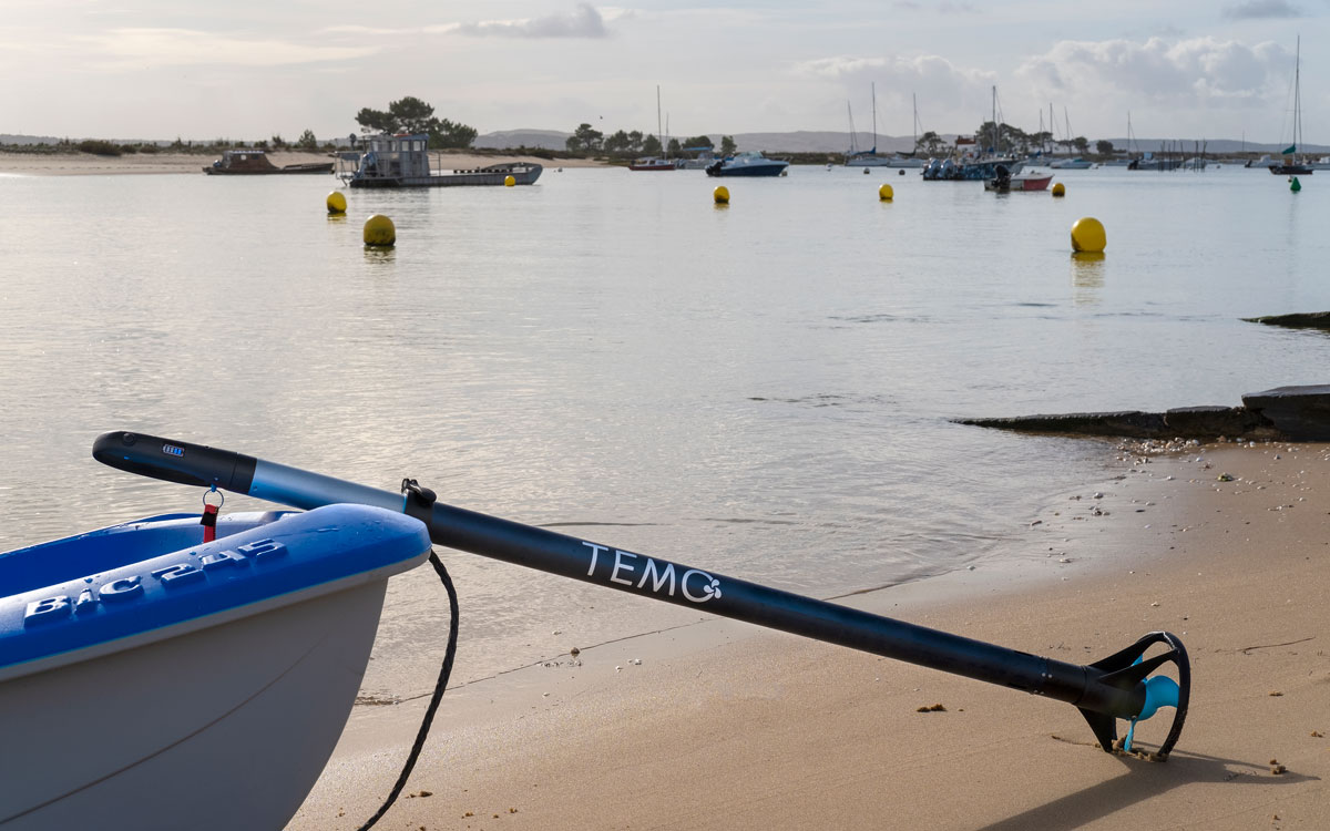
Or you could be planning to navigate on a tablet, dispensing with pricey fixed equipment and giving your charts total mobility.
Modern MFDs from Raymarine and B&G are flexible and support the two main sources of charting: Navionics and C-Map.
Garmin takes a different approach, blending Navionics cartography and its own proprietary data in the form of its BlueChart product.
But in fact, each MFD manufacturer is keen to steer you to a specific source of data.
B&G is part of a large group of marine brands that includes C-Map, so it is naturally leaning that way.
Garmin owns Navionics and Raymarine is rolling out its own Lighthouse charts, named after its award-winning MFD software.
‘The benefit is that we’re fully aligned between the design of the charts and the plotter,’ explains Garmin sales manager Nick Meadow.
How much do these products differ?
Well, much of the world’s waters are charted according to surveys that go back decades, if not centuries.
The fact that they have been digitised and appear on a gleaming piece of 21st century technology doesn’t change the antiquity of the data.
That’s not necessarily a bad thing: many of the surveys undertaken by the Navy using lead lines and bearings were extremely accurate.
But it means that everyone is using the same basic cartography data.
‘We’re all competing with more or less the same content,’ agrees Jakob Svensson, C-Map product manager.
‘We want to crowd-source data and enrich the charts with unique content not available anywhere else.’
The result is that sailors can now access very accurate bottom relief contours for most of the UK’s waters, plus embedded photographs, satellite overlays and details of points-of-interest.
Where plotters or apps support it, your digital chart can even suggest the best passage plan for you.
C-Map
£228 (4D) £155 (Discover) £210 (Reveal) Annual subscription: £34 ($45)
Chief among the ways of differentiating the products is the integration of modern sonar logs, which are recorded and uploaded by ordinary boat owners.
These logs are built from a combination of GPS positions, depth data and the time which is stored by the plotter or phone until it can connect to WiFi ashore.
The logs are corrected for tidal heights, then compared with other users’ data of the area for continuity.
Only then is it made available as community data.
‘We have a team of 10 to 20 people around the business handling the quality control and this sets us apart from the competition,’ says Svensson.

C-Map’s BioBase project allows you to collect and upload scientifically valuable data about the seabed
This extra data makes it possible to display seabed depth information in incredible detail – C-Map’s Genesis layer includes exact soundings at intervals down to one foot.
The charts can overlay bathymetry in a range of different ways – contours for the map-minded or an astonishingly realistic colour-shaded view that renders the seabed in 3D.

Easy Routing is what C-Map calls it automatic route-planning tool, built into its 4D charts
Called Reveal, it is almost like a video game.
‘In the end, you can’t see the forest for the trees if we add too much content,’ says C-Map’s Svensson.
‘Reveal is something that anyone can understand – the shallowest part; the deepest part. You don’t have to be a fisherman to find this interesting – humans are very curious by nature.’
It looks great, and fishermen must be cock-a-hoop, but how useful is this type of digital chart really to sailors?
‘There are no obvious benefits to sailors, other than it looks cool,’ Svensson admits. ‘It’s a bit more sexy.’
It has the power to show the detail of wrecks, for instance, and in the future this could be enriched with a POI of a photograph showing the boat before it sank – something C-Map has discussed already.
It already uses Navily data. C-Map’s product range has looked bewildering in the past, but is being rationalised on 11 February.
For B&G displays, there is the new Discover line or the premium Reveal range, while for other manufacturers, it’s the 4D product.
They all include vector charting with high resolution bathymetry, easy routing, tides and port plans.
Then 4D and Reveal add raster charts, satellite overlay and aerial photography.
Finally, Reveal will include some proprietary features, such as shaded relief and a layer showing seabed vegetation.
The previous range of Max charts will be retired, but supported for 12 more months.
Navico’s companion apps were also upgraded in February to include a weather overlay, synchronised waypoints, custom depth shading and high-resolution bathymetry.
The next step, according to C-Map VP Massimiliano Cecchini, is streaming charting, beamed in real time to your phone.
Raymarine
£145 for UK/Ireland charts £37.50 after first year for Lighthouse Premium subscription.
Raymarine has offered ‘free’ Lighthouse charting for some time, but it only covered the USA, Brazil and New Zealand – countries which had made their hydrographic data free to access.
Now it is relaunching its Lighthouse chart offer as a premium product with much more comprehensive coverage.
Although it will allow users to create their own detailed sonar charts (sharing via the ‘RealBathy community’ will come later), Raymarine’s main aim is to provide a far broader range of points of interest (POI) than the competition.
‘With LightHouse Premium, we give the user the ability to download POI data from Mapbox, Marinas.com, and in the UK, Reeds Almanac,’ says product director Jim Hands.
‘It also allows the user to download high-quality Mapbox aerial satellite imagery and overlay this data on their electronic chart.’

Lighthouse chart with depth shading and satellite overlay for terrestrial features
For some, just the mention of Reeds will appeal.
Hands says that the digital charts include mainly the data on POIs – marinas, buoys and so on – but they will also give access to local tides and currents from Reeds.
Raymarine is making other interesting features available as well, which have a specific value to sailors.
‘Lighthouse Charts are simply more appealing to the eye and give the user additional colour palette options, including day mode, bright sun mode, and both dusk and night-time colour palette options,’ adds Hands.
‘They also give the user more control over object data. We offer a unique chart object control feature that lets you scale the size of buoys, POIs, and other navigation aids. This feature allows the user to really customise the chart view to their personal preference.’
The business model allows users to buy the digital charts and get one year of free subscription to Lighthouse Premium.
This service also includes regular updates via a forthcoming RayConnect Mobile app, downloadable POI data, as well as satellite imagery overlays provided by Mapbox.
RayConnect will streamline the process of updating Lighthouse charts via your phone, and it will, in time, also allow you to view and control your Raymarine MFD remotely.
At that point, RayRemote will be withdrawn.
Navionics
UK & Ireland (plus Netherlands) Nav+: £229. Platinum+: £339 Mobile only: £34.99
Now part of Garmin, Navionics offers two grades of chart that are compatible with most non-Garmin displays.
For Garmin, you have to select a Bluechart (see below).
Both its standard Navionics+ product and the premium Platinum+ include raster and vector charts, sonar log overlay for detailed bottom contours and dock-to-dock autorouting.
The more expensive offering also includes satellite overlay options alongside 3D depth contours, 3D view and panoramic photos.

The fine detailing on Navionics digital charts is breathtaking; this screenshot shows land and seabed features around Portland Bill and the Shambles
Navionics is well established and provides enhanced depth soundings from users under the SonarCharts moniker.
It runs to the same 1ft resolution as the other providers – if you want it.
For a clearer view, just reduce the contour line density.
A handy feature allows you to highlight shallow areas with custom shading – useful if you’re tacking up an estuary, for instance.
You can also see notes, reviews and recommendations left by other users in a ‘Community Edits’ layer that you simply toggle on or off.
When you buy a Navionics chart, you get a year’s free subscription included, which gives you access to updates.
This is a necessity, as Navionics makes up to 5,000 updates to its global charts – per day!
Continues below…

How to modernise your boat on a budget
Updating your instruments, and the data you can see on them, needn't cost the earth. Sam Fortescue investigates how to…

Updating your onboard software
Allowing your electronic charts and other software to become out of date is dangerous, but updating can be something of…
Garmin outage: how safe is online navigation?
July's Garmin outage left Navionics customers unable to access online services including downloading charts. We talk to the cyber security…
Innovative sailing gear from the DAME R&D Excellence awards
Innovative sailing gear celebrated as we look at the DAME Research and Development Excellence in Adversity award entries, from METSTRADE…
Check out the ‘heat map’ on the website to visualise what this means.
This can be done via WiFi, using the Navionics app, or using a USB dongle on your computer.
Either way, you have to register.
But if you want to browse the digital charts on a mobile device, you will have to buy a separate subscription via the Navionics app.
It is well designed and gives you access to the boat’s NMEA data (including AIS) if you pair it with your MFD.
You can view detailed bottom data, relief shading, satellite overlay and more, as well as wind, tides and currents for the next 72 hours.
Garmin Bluechart
£349.99 g3 Vision (entire Atlantic Europe)
Based on Navionics data too, Garmin’s Bluechart product line includes extra functionality that means it works only with Garmin displays.
The range includes similarly detailed seabed contour mapping to the other brands as well as the ability to plot a course from A to B, taking account of depth and air draught.
One of its most popular new features is the modern equivalent of a highway page – something users asked for.
‘It’s a view from behind, showing you all the depths – red or yellow depending on how shallow it is,’ says Meadow.
‘There’s cross-over with the aviation product here. You might not use the 3D render on its own, but it’s good in a split screen with a chart.’

Based on Navionics data, Garmin’s Bluechart product line includes extra functionality that means it works only with Garmin displays
The range comes in standard g3 or g3 Vision, which includes extra features such as aerial photography, high-resolution satellite imagery and relief shading, and the possibility to switch to 3D views.
Some of this data has to be downloaded separately using the ActiveCaptain companion app.
All nice to have, but not exactly mission critical, and Vision only covers the British coast south-about between Blyth and Blackpool.
More interesting is the inclusion of a slider, which allows you to visualise when and how tidal flows change over time in the chart area you’re viewing.
The standard g3 chart only gives you static data from tidal diamonds, based on your current time.
Bluechart also breaks sailing grounds down into smaller zones, so to buy coverage of the UK and Ireland, you would need no fewer than six separate g3 charts, all priced at around £130 a pop.
It is great if you want detail on a smaller area, like the English Channel, or Ireland’s west coast, but more expensive in the long run to keep adding regions.
That said, the whole Atlantic coast of Europe is a bargain at £350 in premium Vision charting.
Garmin’s well-reviewed ActiveCaptain app pulls the whole lot together.
This can mirror your plotter screen, helm the boat and, with the inclusion of a black-box remote monitor, gives you the option of checking remotely on the boat’s position and status.

Garmin Bluechart ActiveCaptain allows display of points of interest, as well as seabed bathymetry and radar data
It includes five relays, so you could switch services on or off remotely – put the heating on, for instance, or check the wind speed at the masthead.
There is no subscription model for updates here.
You buy a chart and get it updated free for a year.
After that, you have to buy the chart again for 50% of its cover price to get another year of updates, or carry on using the unsupported chart.
‘Garmin charts have a feature called OneChart, meaning that the chart is yours, like owning music, and you can put it on as many devices as you wish that are yours,’ explains Meadow.
What about updates to your digital charts?

Update chart memory cards using the dedicated dongle, or via your phone direct to the plotter
The hydrographical offices that ‘own’ chart data around Europe may issue updates several times a week in response to fresh survey data, harbour and coastal development work or notices to mariners (Navionics reports more than 3.5million updates since 2019).
You can physically update the chart card using a card reader on your computer, or do it more smoothly via the mobile app.
The danger is that automatic updates become as regular for digital charts as they do for apps on your smartphone, making short work of your phone’s monthly data allowance.
‘If we were forcing the consumer to always update the chart, I don’t think that’s useful,’ says C-Map’s Svensson.
Instead, the cartography brands will only download updates to your phone when you’re on WiFi, rolled up into large files that can easily top a gigabyte of data.
The app on your phone should similarly wait for your permission to transfer updates across to your MFD.
‘You have to activate it,’ explains Garmin’s Meadow. ‘If you want to leave straight away, you don’t want the MFD tied up with an update. Waypoints transfer across straight away, on the other hand.’
Conclusion
If you are wondering about upgrading your digital charts, the decision is fairly simple.

Raymarine is taking on the big brands with its new Lighthouse charts

Sam Fortescue is a freelance marine journalist and former magazine editor who sails a Sadler 34, which has taken his family from the Caribbean to the Baltic
First, you must check what brands and product lines are compatible with your plotter – each cartographer offers a checking tool to make this easy.
Then you should consider how broad an area you want to be covered.
There is no point in paying for full European coverage when you only need the West Country.
Finally, think about how integrated you want to be.
If you wish to view the digital charts on the laptop or the tablet, you need a to subscribe.
Garmin and C-Map are more advanced on this, while Raymarine Lighthouse lives on your MFD.
Smart cartography
If you’re happy to use an app on your phone or tablet to navigate using a simple basemap, there is a wealth of choice:
- i-Boating: £28.99 UK charts
- SeaNav: £24.99 plus £19.99 for UK charts
- Wärtsilä iSailor: £13.99 south coast charts
- AquaMap: £19.99 UK charts
- NavLink: £33.99 good charts and interface with instrument data
- UK Ireland Nautical Charts HD: £19.99
- Savvy Navvy: from £34.99pa – tides, off- line charts and satellite overview cost extra
- iNavX: £4.99, plus chart pack cost
Enjoyed reading how to choose the right digital charts for your sailing?
A subscription to Yachting Monthly magazine costs around 40% less than the cover price.
Print and digital editions are available through Magazines Direct – where you can also find the latest deals.
YM is packed with information to help you get the most from your time on the water.
- Take your seamanship to the next level with tips, advice and skills from our experts
- Impartial in-depth reviews of the latest yachts and equipment
- Cruising guides to help you reach those dream destinations
Follow us on Facebook, Twitter and Instagram.