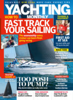
Using the Shipping and Inshore Waters forecasts to predict the weather
Use the links below to download the full series of tutorials from Simon Keeling, showing you how to draw and use a DIY weather chart to predict the weather.
Using the Radio 4 Shipping Forecast and RYA Metmaps, Simon will show you how to:
– Take down the broadcast
– Plot the observations and
forecasts
– Identify areas of high
and low pressure
– Draw
isobars to join lines of equal
pressure
– Identifying and marking
fronts
– Use the
scales printed on the Metmap (which you can also download below) to
predict windspeed and how the
fronts will move
Download our Metmap / Crib Sheet with wind strength symbols,
isobar intervals and a wind angle compass rose.


