


In light of plans to create a new national trail around England's coast, the RYA has issued guidance on how the path could affect recreational boating activities
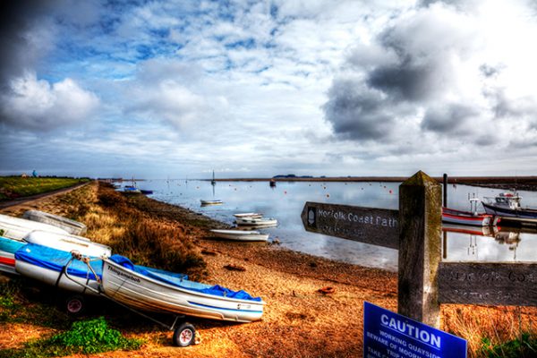
The RYA has issued new guidance on coastal access for yacht and sailing clubs as work officially begins on the new England Coast Path.
The 2,700 mile trail will mean that, for the first time, the public will have a secure and legal right of access around the whole of the English coast.
As well as the path, a coastal margin – land between the trail and the sea – is also being established where appropriate.
Some land is excepted, such as buildings and their curtilage and gardens, or deemed not suitable for public access, such as a mudflat.
The RYA said jetties and pontoons are expected to be considered excepted land, but not quays and slipways.
It also believes many dinghy parks will be considered as curtilage, especially if they are located in the same field as a club’s building.
But, the RYA warns there may be more difficulties if there is additional boat storage in adjacent or unconnected fields where there is no building.
Natural England, which is behind the plans for the England Coast Path, has produced the ‘Coastal Access, Natural England’s Approved Scheme, 9 July
2013′ document, which provides guidelines for the implementation of the trail.
The RYA said this document states that: “coastal access rights will not interfere in any significant way with the operational needs of coastal businesses or
organisations such as sporting clubs”.
Continues below…
Sailors urged to report poorly marked fishing gear
The RYA is urging sailors to report all sightings and entanglements involving poorly marked fishing gear as it reveals a…
Are lobster pots a danger to yachts?
The Cruising Association has launched a campaign to make lobster pots safer for small vessels and is asking sailors to…
It said Natural England had an obligation to balance the interests of walkers and those who use the land.
In cases where a path was consistently obstructed by recreational boating activities then it would be “very unlikely” that the England Coast Path route would run through it.
The RYA said it was aware of a case where the route had been diverted for a club where a boatlift was in use around six times a year. The route of the path ran underneath the boats being lifted so an alternative route has been put in place around the back of the yard, along with signage and a map.
Details of which stretches of the England Coast Path are currently being worked on are available on the Natural England website, where boating facilities situated on the coast can also make comments on proposals.
Natural England provides an overview map of progress, as well maps and details of progress in more localised areas.
Boat yards, sailing clubs and other boating facilities on the coast, as with all landowners and occupiers with an interest in the coast, will be contacted directly by Natural England to discuss the most appropriate route for the new trail and any concerns about the new access rights.
The England Coast Path is expected to be completed by 2020.