


Simon van Dam relies on astronavigation to sail to the remote South Atlantic island of Tristan da Cunha

According to our astronavigation fix, we were within 40 miles of Tristan da Cunha, writes Simon van Dam.
Even though the island’s highest point, Queen Mary’s Peak, is 2,016m above sea level, we still could not see it, our vision partly hampered by the thick band
of low cloud.
As darkness fell, everyone assembled on deck trying to get a glimpse of land, but when the light finally faded we realised we would have to trust our astronavigation calculations.
There were 11 of us onboard Skip Novak’s 74ft expedition yacht, Pelagic Australis.
After completing a five-day RYA Astronavigation course followed by a 10-day shakedown sail around the Falkland Islands to put into practice what we had learned, we were ready to take responsibility for the ship.

A plotting sheet was used to track their progress in detail, from which positions could be transferred to the small-scale chart of the South Atlantic. Credit: Simon van Dam
This was when the real challenge started.
On our way from the Falklands to Cape Town, we had been tasked with finding the small volcanic island of Tristan da Cunha, a speck in the middle of the South Atlantic, navigating only by the sun, moon, stars and planets.
At Stanley we said goodbye to our astronavigation instructor, Alan Denham, who was flying back home to the UK.
We also took the opportunity to stock up on some more fresh food. We were soon away again.
As we began leaving the harbour, our skipper Edd muttered that there would be ‘no cheating’, and covered up the GPS coordinates on the chartplotter display.
Had we really learned enough about astronavigation to be able to find Tristan da Cunha? We were about to find out.

Skip Novak’s Pelagic Australis was built specifically for high latitude sailing. Credit: Simon van Dam
We started in earnest, writing down our speed, log and course in our logbooks every hour.
We decided that the watch leader at the end of each three-hour watch would plot our Estimated Position (EP) so we would have a rough idea where we were.
If we were lucky, we would be able to use our sextants at least once a day to calculate the position of Pelagic Australis.
For the first few days we found it really hard to trust our calculations; all we could do was compare our fixes with each other.
After two days of sailing, we dropped off the Falkland Islands’ chart.
Now we had to use a plotting sheet; our chart of the South Atlantic Ocean wasn’t detailed enough.

The crew spent two weeks at sea using astronavigation and sailed 2,200 miles before landing at Tristan da Cunha. Credit: Simon van Dam
With only four sextants on board, working out our position turned into a bit of a competition, especially on overcast days when the sun would only peek out through the clouds for a few minutes.
Once sightings had been taken, there would be a mad rush to the saloon, where the table would quickly become covered with papers, notebooks and almanacs. Once everyone had worked out their second fix, we compared our outcomes and worked out an average, giving us our position.
We drew this onto the plotting sheet and continued to carry out our three-hourly EP. This method seemed to work pretty well.
When we finally saw the sun after two overcast days, our calculated fix was only 10 miles out from our EP.
This gave us confidence that our fixes and EPs were pretty accurate. When we compared our fixes with each other, they were also getting closer together.
Continues below…

Celestial navigation: understanding the night sky
You don't need complicated maths or even a sextant to enjoy the night sky and use it for navigation, says…
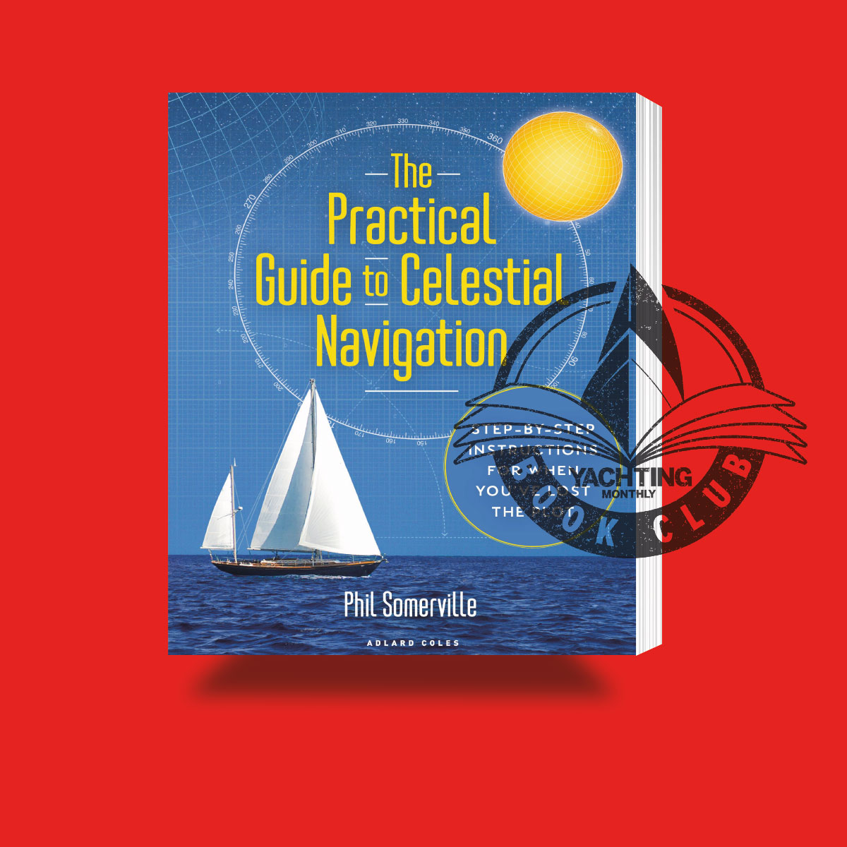
The Practical Guide to Celestial Navigation: Book review
Julia Jones, Yachting Monthly's literary reviewer wades through The Practical Guide to Celestial Navigation by Phil Somerville and is inspired…

Golden Globe Race 2022: The Long Way
Katy Stickland meets the skippers turning their backs on modern technology to take part in the slowest yacht race around…

High latitude cruising: How to sail to the Arctic
Sailing to the Arctic is on many a sailor's bucket list, but how possible is it for the average cruiser?…
These days we can use our phones to get our position on this earth, accurate to a couple of metres.
Celestial navigation is a lot slower and less accurate.
By the time our position had been calculated and added onto the chart, an hour later, time had moved on and so had Pelagic Australis’s actual position.
An estimated three days out from Tristan da Cunha, the forecast gave us one day of wind on the nose followed by two days of wind on the beam.
A few days later, we were still bouncing into the wind and waves. To stay on schedule, we started the engine.

Skipper Edd Hewett double checked the crew’s sightings to make sure their astronavigation calculations were correct. Credit: Simon van Dam
During my nightshift, I drew in the shape of Tristan da Cunha onto the plotting sheet.
This gave us something to aim for, although we all knew that even if we managed to find the island, there was no guarantee we would actually set foot ashore as Tristan da Cunha has no protected anchorage.
Not long after, we received an email from our instructor Alan, who was now back in the UK. ‘Well done guys, you have made it to Tristan da Cunha!’ he wrote.
We laughed and wondered about sending a reply asking him if the island was to port or starboard, as we hadn’t found it yet! But then it all happened at once.
The wind changed to the south-southwest, and as we turned off the engine to sail again, we detected some small speckles on the radar, 32 miles away.
These speckles were exactly where we expected the islands to be.

Edinburgh of the Seven Seas is the main settlement on Tristan da Cunha. Calshot Harbour is only accessible by dinghy. Credit: Simon van Dam
Now, we just needed to be lucky and hope that the anchorage was protected enough from the swell so we could land.
At 0600, I was woken up for my next watch. I climbed out of my bunk and noticed a gentle rocking. We were lying hove-to about 500 metres from Tristan da Cunha.
I started to make out the contours of a mountain.
Closer to the water I could see a string of streetlights, decorating the island’s houses like a Christmas tree.
After navigating by the sun, moon, stars and planets for 2,200 miles, we had reached Tristan da Cunha. What an achievement!
Slowly, the sunlight pushed away the darkness, revealing the island’s steep cliffs of black volcanic rock shooting out of the sea.

The route to Tristan de Cuhna. Credit: Maxine Heath
On the north of the island are the homes of the island’s 250 inhabitants.
We lifted the anchor out of the forepeak and connected it back onto the anchor chain.
Once secured in the volcanic sand below, we inflated the dinghy and motored over to the tiny entrance to Calshot Harbour.
High above us, a group of locals watched our arrival at the island’s capital, Edinburgh of the Seven Seas.
We were welcomed with handshakes and followed the local official to the information centre, which also functions as the island’s post office, souvenir shop and coffee shop, to get our passports stamped.
Walking up the hill, we passed many houses and walls constructed from volcanic stones, probably the only resource which didn’t need to be shipped in from overseas.
All the locals were very friendly and said ‘Hi’ or stopped to chat with us.
We learned the next ship wouldn’t be arriving for another few months.
The crew walked around the village, glad to stretch our legs after two weeks at sea, and passed a sign which read: ‘Welcome to the most remote inhabited island in the world’.
Once everyone was back on board, we set the sails and pointed the yacht’s bow towards Cape Town.
After using astronavigation to sail to Tristan da Cunha, Cape Town didn’t feel like a challenge anymore.
Cruising to Tristan da Cunha
Tristan da Cunha is a British Overseas Territory. The best time to visit is between January and March, during the summer, when there is a better chance of getting ashore.

Simon van Dam has worked for the Hebridean Whale and Dolphin Trust on its research sailing vessel and spent a season on board Pelagic Australis, sailing with guests. Simon is planning to complete the RYA Yachtmaster Ocean qualification.
Visiting yachts need to give as much notice of their visit as possible to the Tristan Police (police@tdc-gov.com) to receive clearance to visit the island.
Those who don’t must seek prior clearance from the harbour master, medical officer and immigration officer via Tristan Radio (VHF Ch. 14,16, 78 & 80) before anchoring, or disembarking passengers or crew.
No visas are required but all visitors need a landing stamp (£15 per crew member).
Government departments in Tristan are only open until 1500, Monday to Friday. Yachts that arrive at the weekend should expect to wait until the start of the working week before being able to go ashore.
Visiting yachts must contact the authorities, via Tristan Radio, to advise of arrival time, as well as departure time and proposed destination when leaving.
Yachts are not permitted to anchor overnight off Gough, Inaccessible or Nightingale Islands.
Anchoring off Tristan is challenging, and the authorities advise that aluminium anchors don’t work effectively.
Yachts are not allowed to enter Calshot Harbour in Edinburgh of the Seven Seas. The harbourmaster can advise on a safe anchorage, although expect swell.
Crews are allowed to come ashore via dinghies, although the harbour closes to visiting vessels after 1900 GMT in summer, 1700 GMT in winter and in early mornings and late afternoons for the island’s fishing fleet.
Useful publications:
The Tristan da Cunha website (www.tristandc.com) has all the latest information for visiting yachts.
Yachts should make every effort to be self- sufficient. World Sailing and the Royal Cruising Club Pilotage Foundation have just published
the Polar Yacht Guide.
It is written by Andrew Wilkes, Alan Green, Victor Were and Skip Novak and is available free at: rccpf.org.uk/pilots/187/Polar-Yacht-Guide
Cape Horn and Antarctic Waters by Paul Heiney/RCCPF (Imray, first edition, £60) for those sailing to Tristan da Cunha via the Falkland Islands.
Admiralty 4206, 4208, 4003, 4020
Enjoyed reading Astronavigation in the South Atlantic?
A subscription to Yachting Monthly magazine costs around 40% less than the cover price.
Print and digital editions are available through Magazines Direct – where you can also find the latest deals.
YM is packed with information to help you get the most from your time on the water.
-
-
- Take your seamanship to the next level with tips, advice and skills from our experts
- Impartial in-depth reviews of the latest yachts and equipment
- Cruising guides to help you reach those dream destinations
-
Follow us on Facebook, Twitter and Instagram.